“The Terrifying 25 is one of several extremely fun hiking lists in New England. It is the only list dedicated to climbing the scariest of New Hampshire’s trails.” Hiking in New Hampshire can be challenging. Folks in the western portion of North America or in Europe or anywhere there are peaks above 10,000′ like to scoff at this statement. However, hiking here has its own set of challenges, such as the extreme weather, broken terrain and complete lack of switchbacks. (As for the latter, they do exist, but they are the exception, not the rule.) As Backpacker magazine once stated, “If you can hike in New England, you can hike anywhere.”
The Terrifying 25 list was created to capture the scarier routes. “Scary” is a subjective term, of course. One person’s trash… etc. That said, the trails on this list contain such features as ladders, steep, open ledges, cliffs and the like. The trails may not be scary over their entirety, but the bits that are can give hikers pause.
The information in the following lists is taken from the tables at the newenglandswaterfalls.com site. Note that there are two tables: the mandatory list and the electives list. There are 20 mandatory trails and 14 electives, of which you only need to hike 5 of the latter to reach the magic number of 25. The lists contain the names of the trails as well as the peak(s) or mountain(s) served by them. Emboldened trail names have been hiked by me; italicized trail names have yet to be completed. The addition of an underline means that I have hiked portions of the trail, so it does not count toward claiming the patch.
To date, I have hiked 10 of the 20 mandatory trails and have hiked at least 5 of the elective trails. This means that, to claim the patch, I need to hike the remaining 10 mandatory trails. Note how many of them lead to Mount Adams and Mount Jefferson.
The Terrifying 25: Mandatory List
- Baldface Circle Trail (South Baldface)
- Claire and I hiked portions of this trail to climb North and South Baldface Mountains. We purposely avoided the scary ledges on the hike up and took a different trail on the descent.
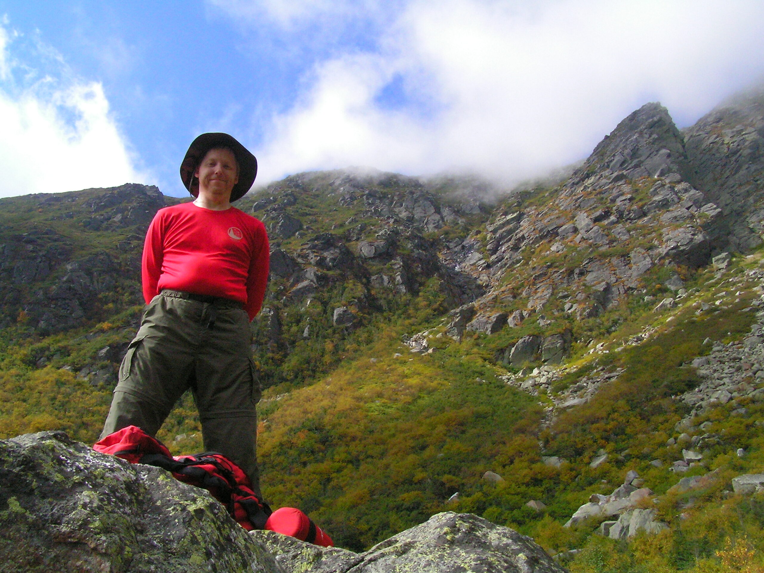
- Caps Ridge Trail (Mount Jefferson)
- I hiked this trail twice: once with Gary Braxten and once with Claire
- Carter Ledge Trail (Middle Sister / Mount Chocorua)
- Update: Climbed on 21-Jun-2025
- Castle Trail (Mount Jefferson)
- Chemin Des Dames (Mount Adams)
- Flume Slide Trail (Mount Flume)
- I hiked this trail with Gary Lawson as part of a loop over to Mount Liberty with a descent down the Liberty Springs Trail.
- Great Gulf Trail (Mount Washington)
- Great Gully Trail (Mount Adams)
- Huntington Ravine Trail (Mount Washington)
- I’ve hiked this trail three times: once with Gary Lawson, once with Gary Braxten and once solo. It’s billed as the toughest trail in the White Mountains.
- Ice Gulch Path
- Claire and I hiked this trail on a whim one hot July some years ago. The floor of the narrow gulch consists of moss-covered boulders hiding ice year-round. One slip and you could fall head-first between them.
- King Ravine Trail (Mount Adams)
- Madison Gulf Trail (Mount Madison)
- Mount Morgan Trail (Mount Morgan)
- Mount Percival Trail (Mount Percival)
- Mounts Morgan and Percival are adjacent to each other on the same mountain range. I’ve hiked both trails (see Mount Morgan Trail) numerous times as a loop.
- North Slide (North Tripyramid Mountain)
- I did this trail solo in my younger years as a 14-mile loop over all Tripyramid peaks, descending via the South Slide (see South Slide)
- Six Husbands Trail (Mount Jefferson)
- South Slide (South Tripyramid Mountain)
- Sphinx Trail (Mount Clay and Mount Jefferson)
- Subway (Mount Adams)
- The Subway is a side trail that leaves and rejoins King Ravine Trail. The trail winds its way through and underneath boulder caves.
- Table Rock Climbing Trail (Table Rock)
- Update: Climbed on 09-Jul-2024
The Terrifying 25: Electives List
- Air Line Trail (Mount Adams)
- A tough way to climb Mount Adams. I solo’d this in my younger days. Claire and I tried to climb Adams via this route, but had to turn back due to extreme wind conditions above treeline.
- Algonquin Trail (Sandwich Dome)
- Beaver Brook Trail (Mount Moosilauke)
- Thanks to a recommendation by my father, also a hiker, I almost killed several friends of mine through sheer exhaustion. This trail is beautiful, following a waterfall / cascade that runs for over a mile. But, it’s steep and wet and rocky with iron handrails.
- Brook Trail (Mount Chocorua)
- Blueberry Ledge Trail (Mount Whiteface)
- I’ve hiked this numerous times and have brought quite a few inexperienced hikers with me. It has sketchy, open ledgy sections that can be challenging.
- Castle Ravine Trail (Mount Jefferson)
- Desolation Trail (Mount Carrigain)
- Devil’s Hopyard
- Goodrich Rock Trail
- Hi-Cannon Trail (Cannon Mountain)
- I hiked this with my brother as one of our first hikes as teenagers. It was one of the trails we hiked on the descent as part of a loop hike.
- Osseo Trail (Mount Flume)
- The other way up Mount Flume. Claire and I hiked this to avoid the Flume Slide Trail.
- Percy Peaks Trail (North Percy Peak)
- Claire and I hiked this trail toward our completion of the 52 With a View list. The sloped ledges were concerning, but nothing we hadn’t seen before.
- Wildcat Ridge Trail (Wildcat Mountain, Peak E)
- I’ve only hiked the ends of the trail, never the portion between Peaks A and D. As I’ve already completed the Electives portion, I may not revisit this.
- Willey Range Trail (Mount Willey)
- If you like ladders… Claire and I hiked this as part of our journey hiking the 48 4000’er list.